New York Drone TFRs Expand Near Waterfront Sites
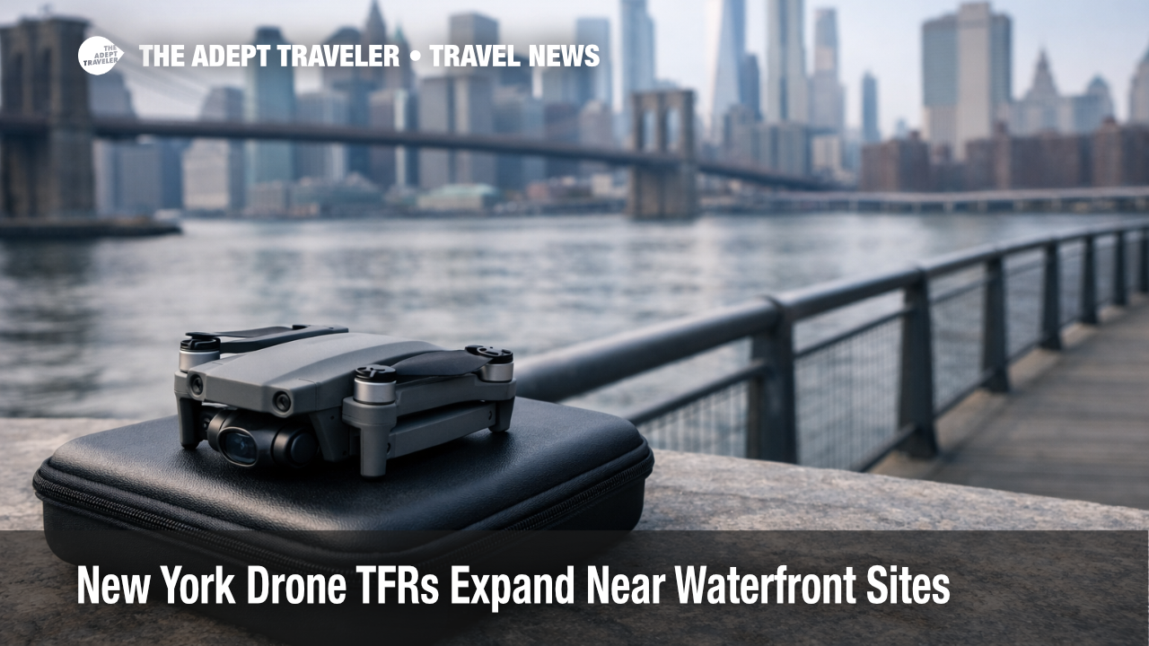
The Federal Aviation Administration expanded drone restrictions across New York by publishing 30 Temporary Flight Restrictions over "critical New York infrastructure," creating short notice no fly zones for unmanned aircraft around specific sites. Travelers most affected are hobbyist drone flyers, photographers, and commercial crews who planned skyline, waterfront, or neighborhood aerial shots near the restricted areas. The practical next step is simple, do not rely on app warnings alone, confirm active restrictions on the FAA TFR list before every flight, and pivot your shot plan to legal alternatives when a site is inside the restricted ring.
The FAA's statement says the 30 TFRs were published "at the request of federal security partners," and it directs the public to the FAA's TFR search tool for the active list. In public reporting tied to the associated NOTAMs, the restrictions were described as running from December 20, 2024, through January 19, 2025, and they were framed as a precaution tied to heightened drone reports in the region.
What matters for travelers is that these are not generic New York City drone rules, they are location specific airspace restrictions that can turn a normally legal low altitude drone flight into a violation if you lift off inside the defined footprint. The safest assumption during the active window is that any "cool skyline spot" near major utility infrastructure could be covered, and you need to verify before you power on.
Who Is Affected
Any traveler bringing a drone into New York City, Long Island, or nearby communities during the active dates is exposed, especially visitors who are unfamiliar with how quickly TFRs can appear and disappear. The restricted sites reported publicly include locations across multiple boroughs, with examples in Brooklyn, Queens, the Bronx, and Staten Island, plus communities such as Oceanside, Melville, Far Rockaway, Yonkers, New Castle, and Holbrook.
Commercial creators are a separate risk tier because they are more likely to fly on a schedule, to fly repeatedly across multiple locations, and to assume that local film permits, property permissions, or a client brief are the primary gating items. A TFR overrides all of that, and if your shoot depends on a specific establishing shot near a covered site, you may be forced into ground based substitutes or a reschedule.
There is also a second order travel impact that does not look like a drone story at first. When drone reports cluster near airports, air traffic managers can slow operations to maintain safe separation and situational awareness, even if there is ultimately "no safety impact." The FAA cited exactly this dynamic at New York Stewart International Airport (SWF) after multiple reported drone sightings near and over the airport on December 13, 2024, before operations resumed later that night.
What Travelers Should Do
If you are traveling with a drone, check the FAA TFR list for New York immediately before you leave for your launch location, and then check again right before takeoff. TFRs are updated in real time, and the FAA also notes they appear in common drone pilot resources such as LAANC based authorization apps and the B4UFLY app, which can be faster than trying to interpret social media chatter about "no fly zones."
If your itinerary depends on aerial content, use a hard decision threshold instead of hoping conditions improve. When your planned shot location is inside a TFR footprint, assume you will not be able to fly there recreationally, and either relocate your shoot outside the restricted ring, switch to ground based capture, or move your shoot day to a date after the restriction expires if your project allows it. If you are on a tight commercial timeline, plan for an authorization workflow only if your team already qualifies and can coordinate with the controlling agency listed in the TFR, otherwise you are likely burning time with a low probability of approval.
Over the next 24 to 72 hours, monitor three things, whether the FAA issues additional TFRs, whether the existing ones are extended, and whether local conditions cause knock on airport impacts in the region. Reuters reporting on the same restriction cycle also flagged a spike in dangerous laser incidents linked to the broader drone frenzy, which is a reminder that the situation can drive unpredictable enforcement and public safety responses around sensitive sites.
How It Works
Temporary Flight Restrictions are FAA issued airspace rules that can be established for security, safety, disaster response, and other operational reasons, and they can apply to drones even when manned aviation is not meaningfully affected. In this case, Reuters quoted the Department of Homeland Security saying the New Jersey restrictions did not impact manned aviation such as airplanes and helicopters, which aligns with how many security TFRs are designed, they target low altitude unmanned activity while leaving normal air routes intact.
For travelers, the operational takeaway is that "I am under 400 feet" is not a sufficient compliance check. A TFR can prohibit drone operations in a defined area, and the FAA says the authoritative way to confirm is the FAA TFR list, which is updated in real time and can be filtered by state, with the NOTAM column providing the actual controlling language. The FAA also describes an expedited approval path, the Special Governmental Interest process, but it is designed for qualified operators who can coordinate with the controlling agency, and it should be treated as an exception path, not a casual workaround for vacation footage.
The enforcement posture is not theoretical. The FAA says it investigates all reported TFR violations, and it can impose outcomes ranging from warnings and fines to certificate suspension or revocation depending on circumstances. Separately, the FAA has also pointed to higher civil penalty ceilings for unsafe or unauthorized drone operations, signaling that the agency expects operators to treat restrictions as aviation rules, not app suggestions.